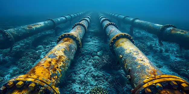
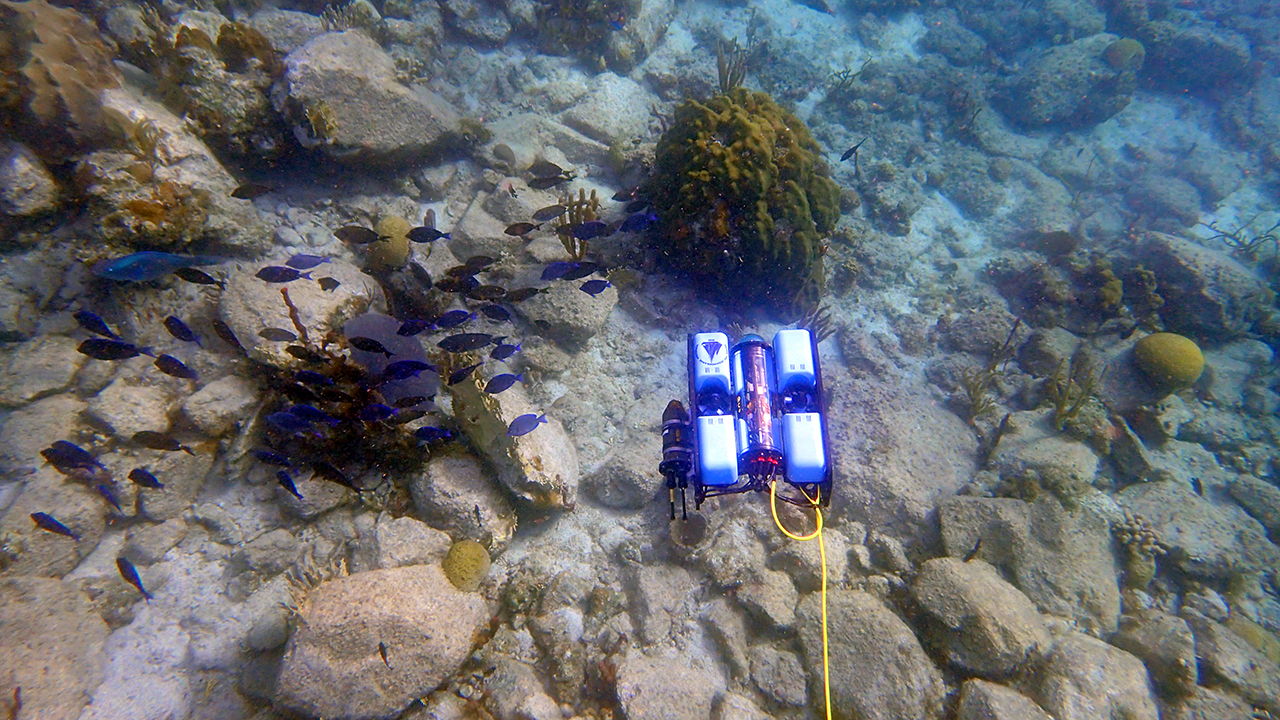
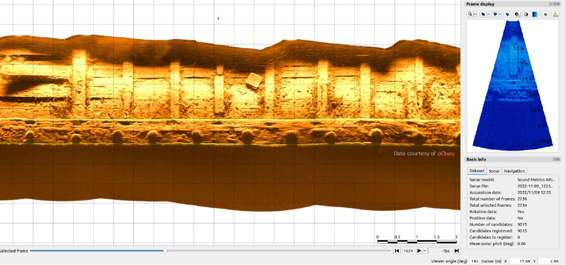
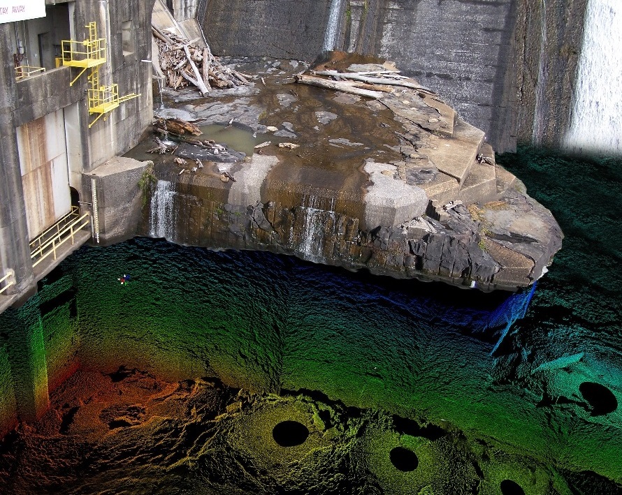
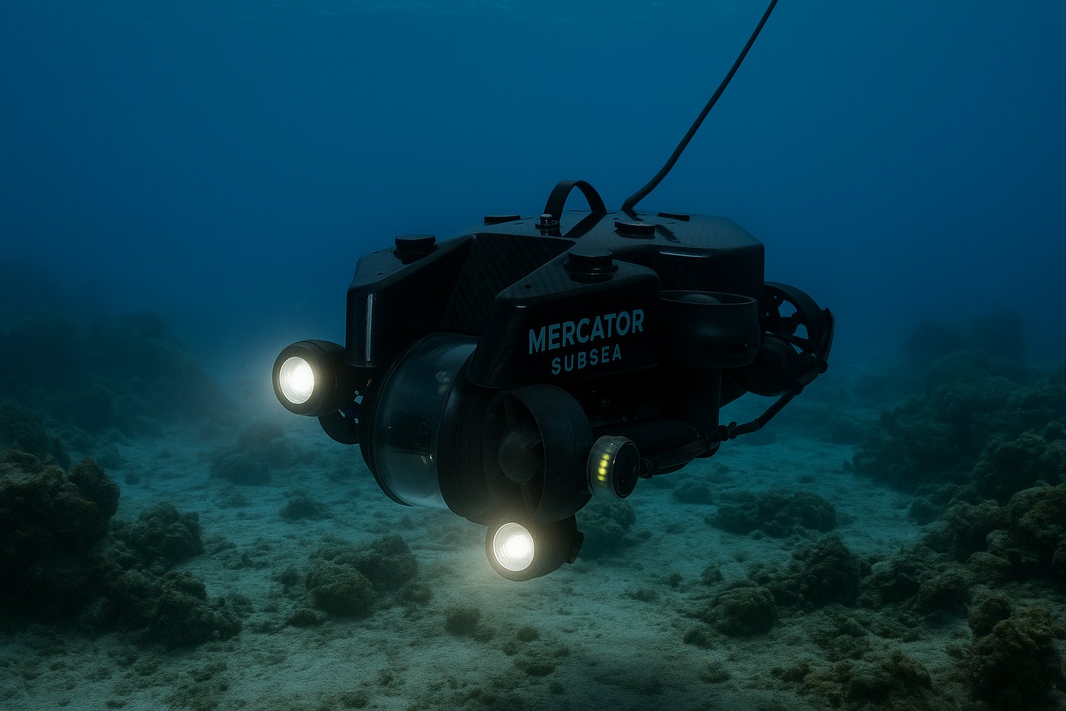
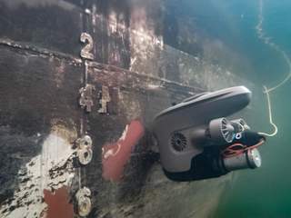
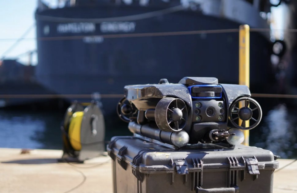
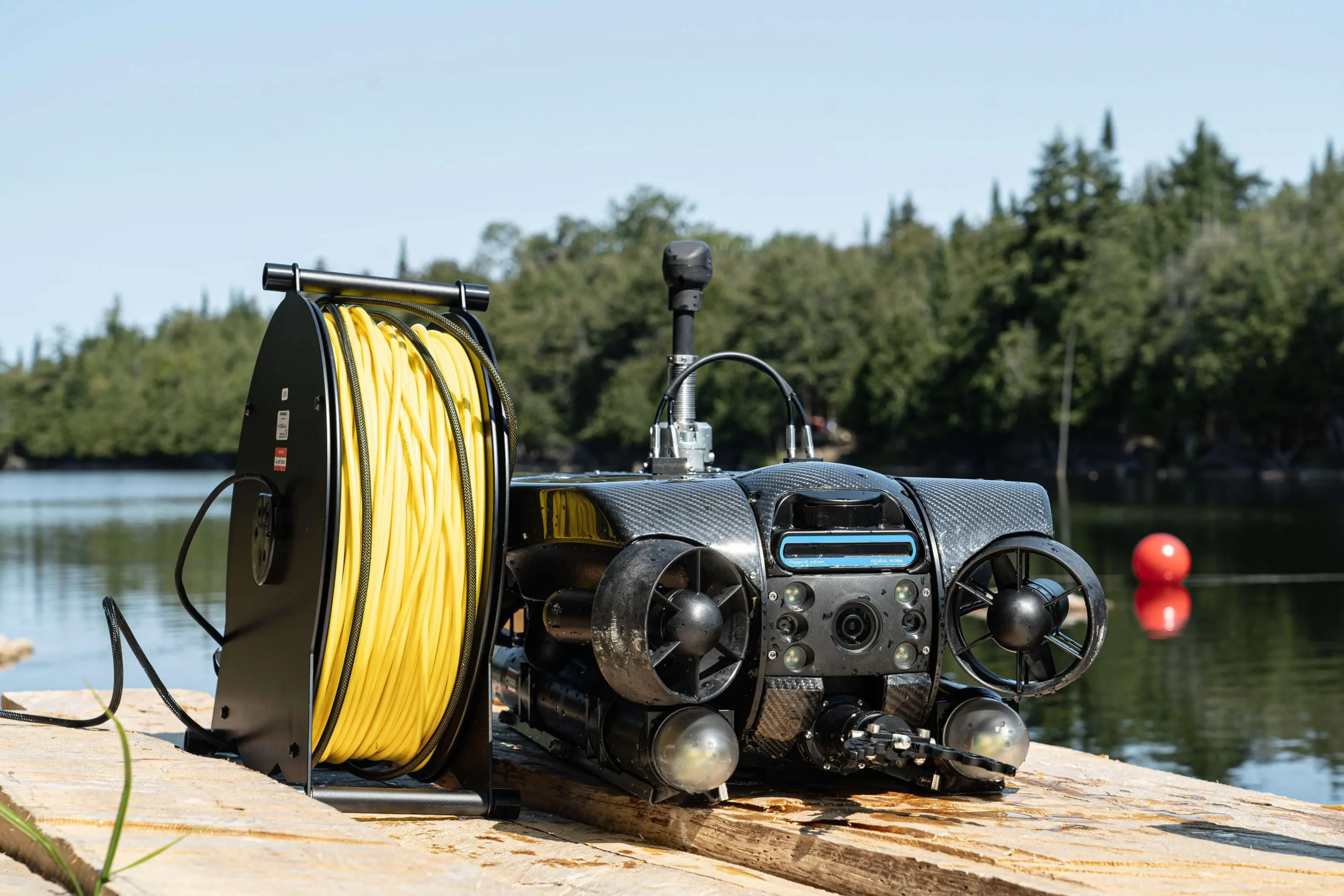
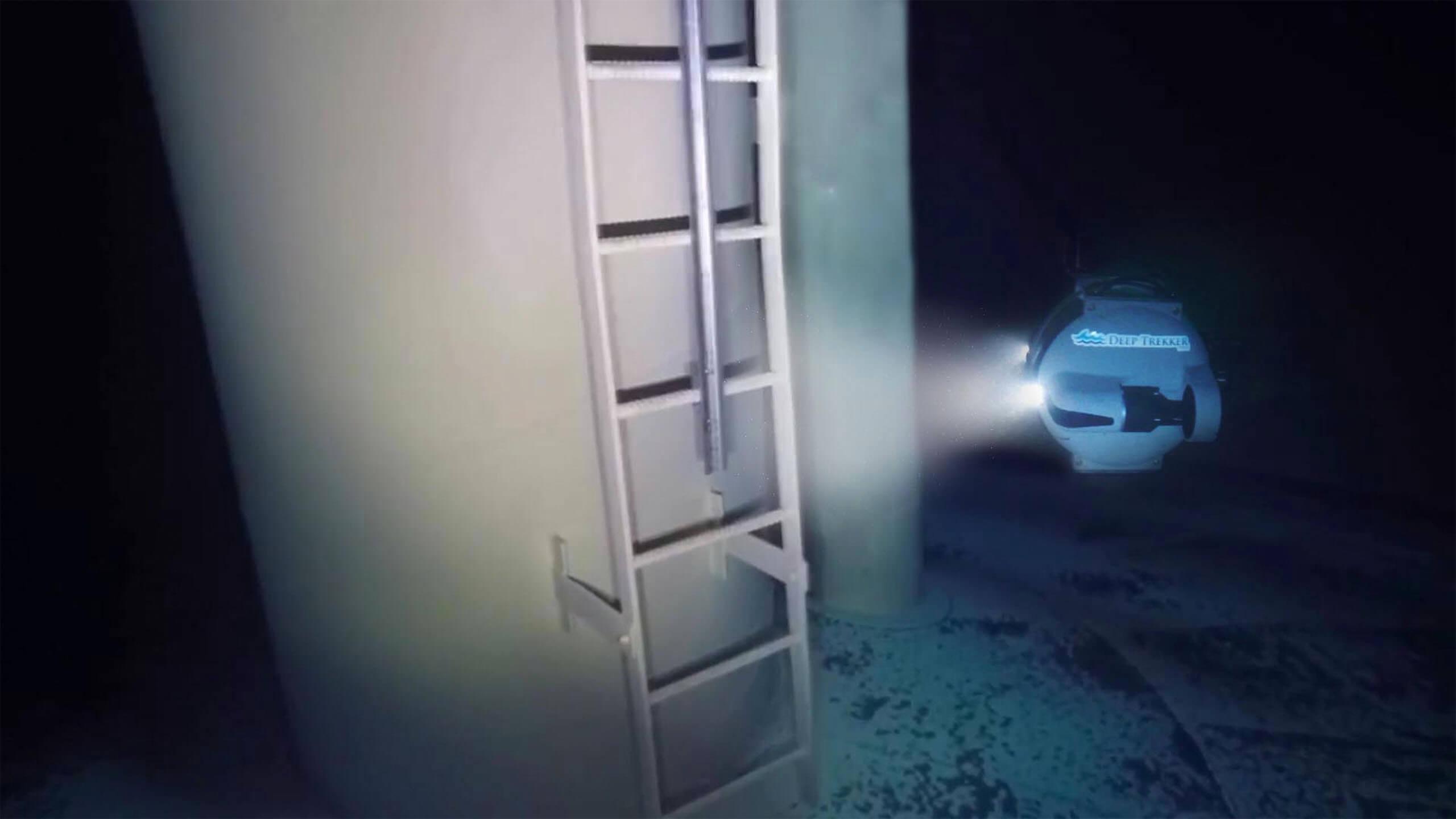
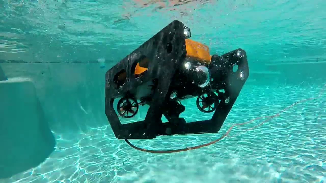
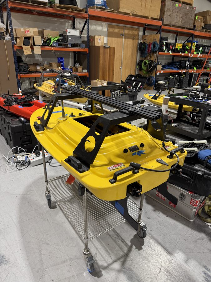
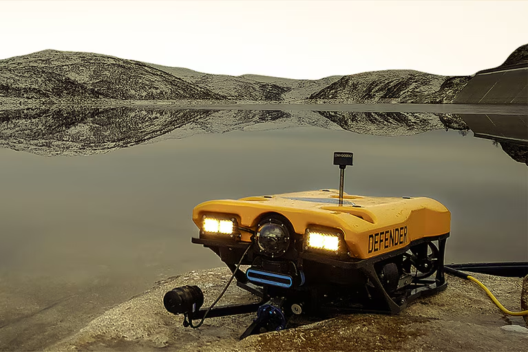
You can't manage what you can't see. Mercator Subsea deploys mini ROVs to give you clear, documented intelligence on your underwater infrastructure — fast, safe, and without disrupting operations.
Our mini ROVs are purpose-built for murky, turbid shallow water — the conditions that defeat conventional inspection methods. We operate where others can't.
01
Platform and pipeline support across the Gulf of Mexico shelf. We inspect submerged structures, caissons, risers, and pipeline crossings for oil, gas, and offshore wind operators.
02
Hull inspections (UWILD), port pile surveys, berth and fender system assessments. We reduce dry-docking costs and keep terminals operational. 3D modeling available.
03
Underwater structural integrity of bridges, dams, and water conveyance systems. NBIS-compliant pier and footing inspections for TxDOT, county, and municipal clients.
04
Potable water storage tanks, clarifiers, and submerged intake and outfall pipes — inspected without shutdown or dewatering. API 653 compliant documentation available.
05
Full-coverage bathymetric mapping of retention ponds, settling ponds, and industrial lagoons using a USV equipped with single-beam and side-scan sonar. We quantify sludge depth, debris accumulation, and sediment volume without ever entering the water.
06
ROV and USV-based environmental monitoring for coastal and aquatic ecosystems. Water column sampling, reef health surveys with high-resolution photographic documentation, and coastal resiliency studies tracking erosion, habitat change, and storm impact.
Every Mercator Subsea deployment is backed by a full suite of sensor and imaging technologies. We don't just look — we document, measure, and model.
Full-coverage acoustic mosaics of seabed and structure surfaces. Stitched sonar imagery provides a complete map of underwater assets — even in zero visibility.
Multibeam and forward-looking sonar generates real-time 3D point clouds of underwater structures, enabling dimensional analysis and structural change detection over time.
Precision 3D models built from overlapping HD imagery. Delivers measurable, accurate digital twins of structures for engineering analysis and long-term monitoring.
Ultra-high definition video documentation with LED lighting for detailed visual inspection. All footage is timestamped, GPS-referenced, and delivered in a full inspection report.
Automated cross-section profiling of tunnels, culverts, and confined waterways. Detects deformation, blockages, and structural degradation with millimeter accuracy.
Dedicated pipeline survey with side-scan sonar and HD cameras. Assesses cathodic protection, free-span conditions, and external corrosion along subsea pipeline routes.
Remote non-destructive testing removes the need for diver-based inspection. Covers remote ultrasonic thickness measurement, flooded member detection, and cathodic protection (CP) surveys — all georeferenced and delivered in a report your engineers can act on.
Our mission is simple: keep the diver out of the water when they don't need to be there. A robot is faster, safer, and doesn't get tired. When there's no human life at risk, there's no reason to put one in.
Beyond safety, our ROVs deliver a quality of data that a dive inspection simply can't match. Every survey is repeatable — the same platform, the same sensors, the same methodology every time. That consistency means your data is actually comparable year over year, not dependent on which diver showed up that day.
Our deliverables aren't just inspection reports. They're tools for future planning, risk mitigation, and safety — giving asset owners the intelligence they need to make better decisions before problems become emergencies.